
NGS takes gravity to new heights


ALAMOSA — Colorado’s fourteeners are losing ground and its state capital is just shy of a mile high under new standards being put into play in the U.S. to measure heights, formerly referred to as elevations.
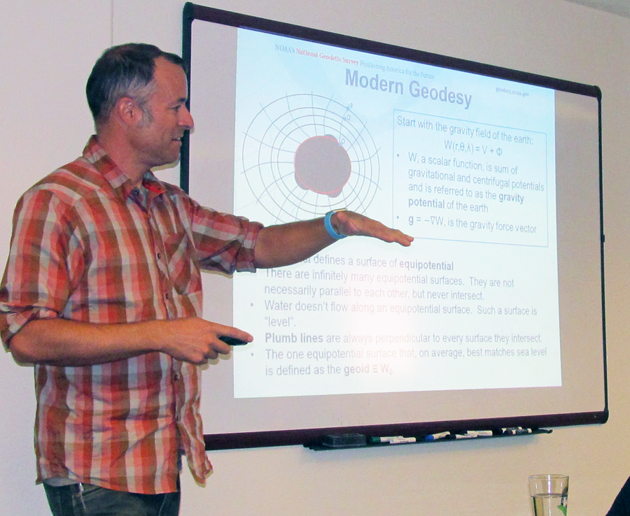
Derek van Westrum, Ph.D., project manager with the National Geodetic Survey that is developing and ground truthing the updated standards, attempted to explain in laymen’s terms GRAV-D (Gravity for the Redefinition of the American Vertical Datum) to members of the Rio Grande Roundtable on Tuesday in Alamosa.
The ground truthing survey work has been going on along Highway 160 all summer between Durango and Walsenburg. Crews are using gravity meters to determine heights at every single one of the 223 miles along that Highway 160 route to determine how far off those heights (elevations) are from previous measurements. Van Westrum said it looks like most heights in Colorado, from its 14,000-foot peaks to its mile-high capital, are short about two feet from previous measurements.
That does not mean Colorado needs to change its elevation signs anytime soon, however, since the new standards will not be taking effect until about 2022, van Westrum explained.
Formerly working for a firm producing gravity meters, van Westrum now works for the National Oceanic and Atmospheric Administration (NOAA) under which the National Geodetic Survey operates.
“What we do is measuring heights,” van Westrum said. “We are basically the last stop for maps.”
The connection to NOAA was initially coastal mapping, and the connection to the roundtable, which deals with water issues in the San Luis Valley (Rio Grande Basin), is that gravity measurements show how and where water will flow, van Westrum added. Having accurate date is important for FEMA (Federal Emergency Management Administration), for example, in mapping flood plains, van Westrum explained. FEMA is one of the vital partners with the National Geodetic Survey. In turn, flood plain maps determine where flood insurance is required.
“People that make maps start with us,” van Westrum said.
He explained that the current system for horizontal and vertical heights (elevations) dates to 1983 and 1988, respectively, so what he and others with the National Geodetic Survey are working on now will update that data, literally bring it to new heights — in Colorado’s case, lower.
Van Westrum explained that height is “the distance up from somewhere,” which used to use “sea level” as zero on the height scale. Brass markers laboriously placed across the country reflect that standard for measuring height, or elevations. However, problems such as subsidence (sinking) changed those heights over time. A new way of measuring heights needed to be implemented, van Westrum explained.
That is where the gravity based geoid comes in. It is basically the replacement for the “sea level” system and uses updated technology such as global navigational satellite systems. It takes into account that the Earth is not really round but more ellipsoid in shape, or as van Westrum described it, a “lumpy blob.” The varying heights of landscapes on that “lumpy blob” can be determined through the use of satellites, airplanes and on-the-ground measurements, van Westrum explained. He said NASA launched satellites that can measure gravity over the entire planet, which is accurate on a big-picture scale. Airplanes give a closer picture, and crews on the ground an even closer one.
The aerial work, completed in blocks over the U.S. and its territories, is about half finished, according to van Westrum who said flights over southern Colorado occurred on Monday.
“We are supposed to be done by 2022,” he said. “It’s a lot of work.”
Air and ground truthing in Texas and Iowa, which were pretty flat, were relatively easy and did not show much variation from previous measurements, but mountainous Colorado has proved to be a different story. GRAV-D teams are finding that height measurements in Colorado are about 2 feet off.
Fortunately, Colorado shouldn’t lose any of its 53 fourteeners when the new height standards are implemented (though Sunshine Peak in the San Juan Mountains would come close if two feet were shaved off its 14,007 current elevation), but the “mile high city” might have to add a stepladder to its capitol entrance.
Caption: Derek van Westrum speaks at the September 12th Rio Grande Roundtable meeting in Alamosa. Courier photo by Ruth Heide